
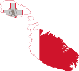
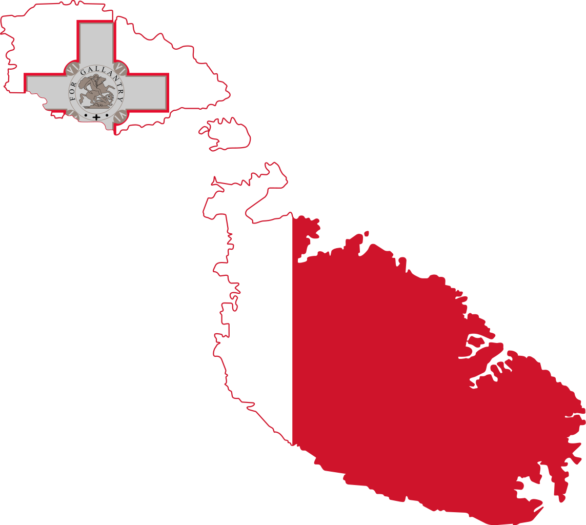
Fil:Flag map of Malta.svg

Size of this PNG preview of this SVG file: 669 × 599 pixels. Andre opløsninger: 268 × 240 pixels | 536 × 480 pixels | 858 × 768 pixels | 1.143 × 1.024 pixels | 2.287 × 2.048 pixels | 671 × 601 pixels.
Fuld opløsning (SVG fil, basisstørrelse 671 × 601 pixels, filstørrelse: 76 KB)
|
|
Denne fil er fra Wikimedia Commons. Beskrivelsen af filen fra Commons er gengivet nedenfor. |
| Beskrivelse | Flag map of Malta |
| Dato | (UTC) |
| Kilde | |
| Forfatter |
|
| Andre versioner |
 |
| Jeg, indehaveren af ophavsretten til dette værk, udgiver dette værk som offentlig ejendom. Dette gælder i hele verden. I nogle lande er dette ikke juridisk muligt. I så fald: Jeg giver enhver ret til at anvende dette værk til ethvert formål, uden nogen restriktioner, medmindre sådanne restriktioner er påkrævede ved lov. |
Uploaded with derivativeFX
Filhistorik
Klik på en dato/tid for at se filen som den så ud på det tidspunkt.
| Dato/tid | Miniaturebillede | Dimensioner | Bruger | Kommentar | |
|---|---|---|---|---|---|
| nuværende | 25. maj 2016, 01:02 | | 671 × 601 (76 KB) | Stasyan117 | Reduce and сorrected |
| 22. jan. 2015, 19:51 |  | 670 × 601 (105 KB) | Stasyan117 | Cor | |
| 19. feb. 2011, 01:34 |  | 724 × 629 (70 KB) | Fry1989 | {{Information |Description=Flag map of Malta |Source=*File:Flag_of_Malta.svg *File:Malta_EU.svg |Date=2011-02-18 23:21 (UTC) |Author=*File:Flag_of_Malta.svg: *File:Malta_EU.svg: *Xlokk-map.svg: [[User:Xande |
Filanvendelse
Global filanvendelse
Følgende andre wikier anvender denne fil:
- Anvendelser på ar.wikinews.org
- Anvendelser på ceb.wikipedia.org
- Anvendelser på el.wikipedia.org
- Anvendelser på en.wikipedia.org
- Ta' Dmejrek
- Mediterranean States
- Three Villages
- Template:Malta-geo-stub
- Santa Luċija
- Mselliet
- Fort Saint Rocco
- Ramla Bay
- Għallis Tower
- Xerri's Grotto
- Ninu's Cave
- Xgħajra
- Fort Benghisa
- Blata l-Bajda
- Ċirkewwa
- Gwardamanġa
- Madliena
- Hastings Gardens
- Lower Barrakka Gardens
- Upper Barrakka Gardens
- Buġibba
- Ħajt il-Wied
- Mġarr ix-Xini
- Ħondoq ir-Rummien
- Tal-Ħandaq
- Fomm ir-Riħ
- Ħamrija Tower
- Armier Bay
- Burmarrad
- Ħal Far
- Għar Lapsi
- Ta' Kandja
- Industrial estates in Malta
- Bubaqra
- Extreme points of Malta
- Nadur Tower
- Magħtab
- Wied il-Għasel
- Għar ix-Xiħ
- Ġebel San Pietru
- Is-Salina
- Daħlet Qorrot
- Pwales
- Luzzu oil field
Vis flere globale anvendelser af denne fil.