
Fil:Europe all states.png
Størrelse af denne forhåndsvisning: 800 × 352 pixels. Andre opløsninger: 320 × 141 pixels | 640 × 282 pixels | 1.427 × 628 pixels.
Fuld opløsning (1.427 × 628 billedpunkter, filstørrelse: 32 KB, MIME-type: image/png)
|
|
Denne fil er fra Wikimedia Commons. Beskrivelsen af filen fra Commons er gengivet nedenfor. |
|

|
Dette billede (eller alle billederne i denne artikel eller kategori) bør genskabes ved hjælp af vektorgrafik som en SVG-fil. Dette har flere fordele; se Commons:Media for cleanup for mere information. Hvis der eksisterer en SVG-version af dette billede, så vær venlig at lægge den op. Efter en SVG-version er blevet lagt op, så erstat denne skabelon med {{Vector version available|nyt billedes navn.svg}} på denne side.
|
Beskrivelse
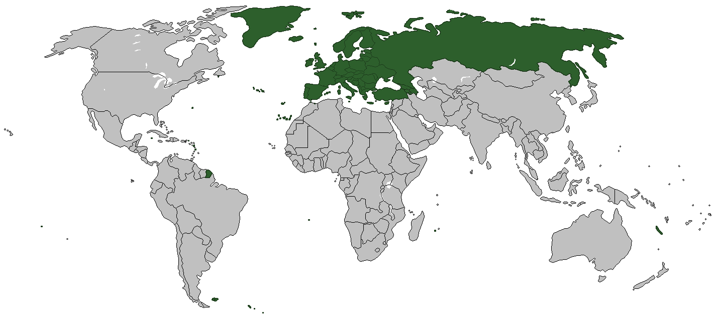
| Beskrivelse | World Map - European countries |
| Dato | |
| Kilde | trabajo propio usando mapa en blanco de wikipedia commons (File:BlankMap-World-Borders.png |
| Forfatter |
Licensering
| Jeg, indehaveren af ophavsretten til dette værk, udgiver dette værk som offentlig ejendom. Dette gælder i hele verden. I nogle lande er dette ikke juridisk muligt. I så fald: Jeg giver enhver ret til at anvende dette værk til ethvert formål, uden nogen restriktioner, medmindre sådanne restriktioner er påkrævede ved lov. |
Filhistorik
Klik på en dato/tid for at se filen som den så ud på det tidspunkt.
| Dato/tid | Miniaturebillede | Dimensioner | Bruger | Kommentar | |
|---|---|---|---|---|---|
| nuværende | 6. aug. 2022, 13:04 | | 1.427 × 628 (32 KB) | Рагин1987 | Transcaucasian countries shaded |
| 3. feb. 2009, 11:47 |  | 1.427 × 628 (54 KB) | Koyos | reverting geographically inaccurate color coding | |
| 18. jul. 2008, 13:04 |  | 1.427 × 628 (58 KB) | Aegean Boy~commonswiki | ||
| 25. feb. 2008, 00:21 |  | 1.427 × 628 (54 KB) | Wadim | ||
| 12. feb. 2008, 21:22 |  | 1.427 × 628 (43 KB) | Malus Catulus | {{Information |Description= |Source= |Date= |Author= |Permission= |other_versions= }} | |
| 19. aug. 2007, 03:28 |  | 1.427 × 628 (54 KB) | Wadim | {{Information |Description=World Map - European countries |Source=trabajo propio usando mapa en blanco de wikipedia commons |Date=19/08/2007 |Author= |Permission= |other_versions= }} |
Filanvendelse
De følgende 2 sider bruger denne fil:
Global filanvendelse
Følgende andre wikier anvender denne fil:
- Anvendelser på ca.wikipedia.org
- Anvendelser på de.wikipedia.org
- Anvendelser på es.wikipedia.org
- Anvendelser på ja.wikipedia.org